East-coast network to use LiDAR for engineering and regulatory compliance
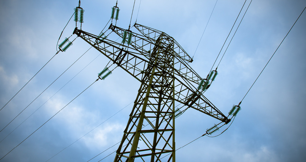
As part of an ongoing framework with a major East-coast utility, we will provide geospatial analysis for more than 4000 miles of transmission network. With circuits located throughout a number of states, the project will support engineering operations and ensure compliance.
We will collect LiDAR data as well as high resolution imagery for the network. This will give an accurate picture of asset health to assist with prioritising engineering maintenance calendar.