Eastern transmission line project to use geospatial data
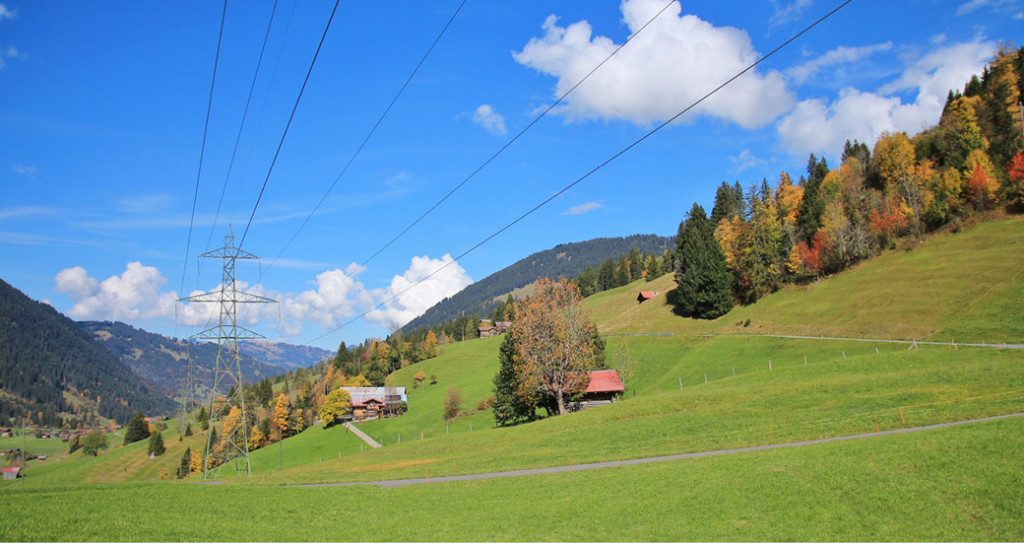
NM Group are to deliver a transmission analysis project for over 130 km of OHL in Eastern Canada. Providing mapping and image data for our client, we will deliver classified LiDAR data, high resolution ortho-imagery and georeferenced images of each structure.
This data will be used for onward engineering analysis and will provide crucial data to enable further studies to be undertaken.
