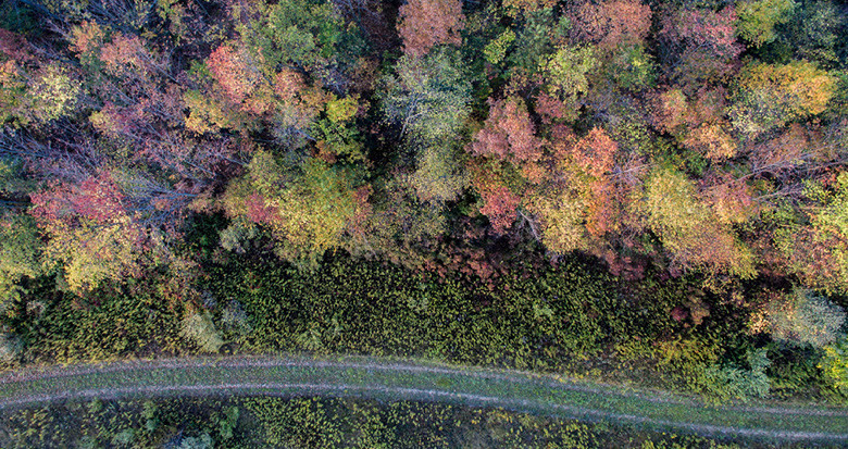
Geospatial project to provide accurate records for major European forestry client
NM Group are delighted to be working with a major European forestry company. This new geospatial project will provide accurate records for our client. Helping them to realize the social and financial potential of their forests in a sustainable way.
We will aerially survey approximately 225m2 to collect LiDAR data. This data will be processed to produce a digital terrain model. The model will help our client to understand the land they are responsible for, allowing them to maximize value and deliver social and environmental benefit.
