Industry Insights with Peter Stirratt, NM Group’s Head of Sales
In October, we welcomed Peter Stirratt as NM Group’s new Head of Sales. With over a decade of experience in the drone, geospatial, and utilities sectors, Peter has joined us at a pivotal time – when the energy transition, electrification, and rapid advances in data capture technologies are reshaping how utilities manage their networks.
We sat down with Peter to discuss the major trends shaping the industry, the rise of multi-source data, and how AI and analytics are transforming operational decision-making.
The utilities and geospatial world is evolving quickly. What major shifts do you see shaping the industry right now?
I see three major shifts in utilities and geospatial which are defining the industry right now.
-
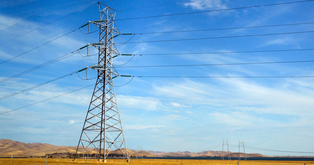
Renewables
We’ve moved from a fairly predictable, top-down grid to something far more dynamic and decentralized. Solar, wind, and battery storage are being added at incredible speed, and every new connection adds another layer of complexity for our customers. Utilities now need much richer spatial and structural insight just to understand where new assets can be connected, what capacity they have, and how this new generation will behave once it’s on the system. -
Electrification and data centers
Everyone talks about EVs, and rightly so, but the bigger story now is the surge in electricity demand from new data centers and AI compute. At the recent CEATI T&D conference, many utilities said this growth has taken them by surprise. AI hasn’t just increased demand – it has accelerated it dramatically. This means major upgrades to existing lines and the urgent need for new capacity. -
A move from periodic inspections to continuous, data-driven situational awareness.
When I joined this space in 2017, satellites, drones, LiDAR, and fixed sensors were nowhere near as mature as they are today. Now utilities can monitor their networks across multiple resolutions and timeframes. The sector is shifting from “capture data every few years” to a smarter, multi-source intelligence model.
All of the above means utilities need more detailed, faster, and more accurate insights than ever before.
With data now coming from drones, helicopters, satellites, and more, how is this multi-source approach changing how utilities understand their networks?
This multi-source approach is exactly where the industry is heading, and frankly, it’s overdue. For years there has been excitement around individual technologies – drones, satellites, LiDAR – but it’s always been clear there’s no one silver bullet.
Each platform has strengths and limitations. The value lies in understanding what fidelity is required, what question needs answering, and how different sources layer together.
-
LiDAR still provides unparalleled precision for clearances, structure condition, and vegetation risk. Satellites simply aren’t at that level of accuracy yet.
-
Drones excel at close-up, repeatable, low-cost inspections, and targeted ad-hoc LiDAR capture when scale is small.
-
Helicopters and fixed-wing aircraft still dominate when you need speed over vast areas.
-
Satellites offer wide-area situational awareness and trend detection.
-
Fixed and IoT sensors close the loop with real-time condition monitoring.
After eight years in the drone sector, I’ve seen first-hand that the real power isn’t in the platform. It’s in how all these data sources collectively inform the best operational or investment decision.
AI and advanced analytics are becoming more important across the sector. What potential do you see AI bringing to utilities and geospatial workflows?
AI is already transforming the sector – in particular by creating such enormous demand for electricity. But in terms of AI being used to drive efficiencies in the geospatial sector, we’re still in the early innings.
Machine learning can process millions of images, and point clouds far faster than any human team. But accuracy still matters – especially when we’re talking about critical national infrastructure. This is where I think the industry conversation needs more maturity.
AI amplifies the expertise of engineers; it doesn’t replace it. The best outcomes come from pairing advanced models with experienced utility, LiDAR, and geospatial engineers who understand the nuances of the asset and the local environment.
So while AI will deliver huge efficiency and decision-making improvements, human validation and engineering insight will remain essential for the foreseeable future.
From the customer perspective, what challenges are utilities facing today?
Utilities are dealing with aging infrastructure, growing scrutiny from regulators, and the public – especially around resilience (to the increasing strength of storms), wildfire risks, and general safety. At the same time, there’s huge pressure to connect renewables and data centers quickly and keep up with load growth.
Utilities must maintain, monitor, and invest at a pace that is unprecedented. That creates both complexity and opportunity for smarter, data-driven asset management.
Given these pressures, where do you think Network Mapping is best positioned to support utilities?
NM Group is uniquely positioned because we sit at the intersection of geospatial technology, engineering analysis, and operational insight.
Where we deliver the most value is in taking complex, multi-source data and turning it into clear, reliable, and actionable insight. We’re not just providing point clouds or imagery – they are simply tools to achieve:
-
Validated clearance assessments
-
Vegetation risk models
-
Asset condition analytics
-
Digital twins that support data-led, objective planning and investment
Technology alone doesn’t solve the problem; it’s the understanding of how to translate that information into operational decisions.
With the demands on utilities growing, our role is to help them be more proactive, more efficient, and ultimately more resilient. And in an industry that’s evolving this quickly, that combination of innovation and engineering rigor is becoming more valuable than ever.