5 common questions utilities ask LiDAR providers (and what they really should be asking)
Here are some common questions we get asked when meeting utilities new to LiDAR data. Find out what they are and what you really should be asking to make your LiDAR project a success.
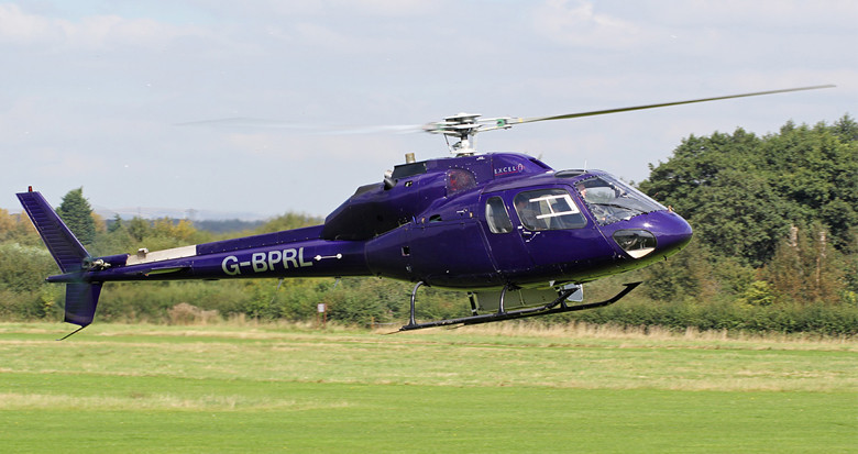
1) Are you using a helicopter or fixed wing survey aircraft?
This question often comes from preconceived ideas about which platform is “right”. In truth, what matters most is the usability of the end data. Different combinations of flying heights, survey methodologies and scanners all yield very different results and different price points. A good supplier will understand that and work backwards from the project requirements to find the best platform solution.
In general though, it’s worth noting that a higher speed and altitude (fixed wing) usually means less dense data but greater coverage. Lower speed and altitude (helicopter) usually means better line following ability, more data density but a narrower corridor. It comes down to what you want to do – are you doing a Greenfield route selection (coarser data and wide coverage is fine) or aiming to produce a model for a re-conductoring study (high accuracy and focused coverage is needed)?
2) How accurate is your LiDAR data?
LiDAR accuracy can vary according to a range of factors, even with the same aircraft and sensor flying the same line. The accuracy determines the usability of the data for accurate modelling and clearances as well as repeatability for change detection such as vegetation growth.
The accuracy can vary according to how the ‘error budget’ adds up, and this can be anything from 50 mm or 2” (for construction design) up to 500 mm or 20” (for rough route selection), with a more typical range being 150-200 mm or 6-8” for engineering modelling and vegetation checks.
With greater accuracy you will typically see greater costs, as lower flying height, sensor complexity, and additional ground survey work will add up. This should be weighed against the larger number of possible uses with higher quality data. The main thing here is to get a clear understanding of how the accuracy will be achieved, and what verification will be applied to ensure the data can be trusted.
3) Does it matter if you aren’t located close to my network?
The location of the service provider may matter a lot, a bit or not at all! It comes down to the kind of business model that a survey provider uses. Some providers will own their aircraft which means they will always need to fly this to the survey start point (this may cost a lot if the survey is many hours away from the provider’s base airport). Other companies will simply courier their equipment to the survey location and use a locally based and utility approved aviation company.
You will also find that providers need to concentrate their data processing and modelling facility in a single location given the specialist skills and infrastructure involved. So in most cases the location of the provider doesn’t really matter – it’s much more that they have the relevant experience and qualifications in order to deliver the best possible service.
4) Just how much does it cost?
The cost of a project is based upon some key variables. The geographic layout of the network will impact the efficiencies of the flight, the required accuracy and the choice of platform (fixed wing or rotary) all help determine the survey cost. A more complex product set, say with detailed classification and thermal rating studies, will be significantly more costly than a simple as-surveyed vegetation clearance check.
Economies of scale come into this type of work too – the rate per mile for a whole network is significantly less than for a single circuit. There are some rules of thumb on cost for ‘typical’ projects of reasonable size, but a market test to take in all of the above is going to be the best guide.
5) Can you deliver ‘product X’ with a UAV?
This is the most common question of all – and it’s no surprise, Unmanned Aerial Vehicles (UAV) have really captured the public imagination. They are relatively inexpensive, can safely traverse hazardous areas and carry useful equipment (such as survey technology). Many companies are offering UAV options and utility applications vary from aerial images to LiDAR based or Infrared and Corona component inspections. However it’s important to note that in this context, they are simply another platform for a LiDAR sensor and all the same sorts of considerations apply – sensor payload, speed, range, safety and cost.
Right now, some small projects are more suited to UAV-based capture on economic grounds, but technical and regulatory hurdles still remain, e.g. operating out of line of sight of an operator. This will change over time, but right now, large scale projects are solely the domain of the manned aircraft. We believe that the focus should remain on the end product and how the combination of aircraft, sensor and post-processing will generate useful answers for utility managers – pilot or no pilot.
