Canadian network operator uses LiDAR to deliver engineering and vegetation management analysis
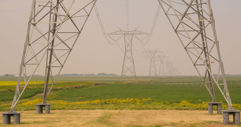
An existing Canadian client has commissioned a new project to aerially survey approximately 62km of transmission circuits; using LiDAR to support both engineering operations and vegetation management across the network.
The client will be provided with a detailed vegetation report highlighting areas of risk, as well as PLS-CADD modelling.
Remote sensing technology has a wide range of applications for utilities. Find out more about the range of services we offer.