Geospatial project to equip Western utility with as-built asset records
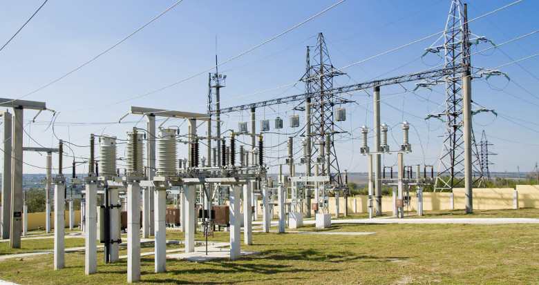
Just under 10 miles of 138 kV transmission line running between two Utah substations is to be surveyed for an established Western network operator and existing client of ours.
Aerial LiDAR will be carried out to furnish the client with as-built records of the route and associated substations. Weather and load conditions will be recorded at the time of data capture to enable accurate PLS-CADD modelling using our well established methodology.
Find out more about PLS-CADD modelling here.