8 lessons from the US in achieving maximum value from LiDAR
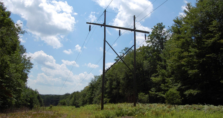
The 2010 NERC alert prompted transmission network operators in the United States to change the way they assessed and confirmed their thermal ratings. The alert recommended a compliance methodology using LiDAR and the engineering software (PLS-CADD™). Although already used by many utilities, now the majority of eligible utilities began adopting a LiDAR and modelling approach to their network. Throughout this time, we worked with a large number of network operators and have seen first-hand how best practice has evolved.
Here we take a look at 8 key findings from the NERC prescribed methodology and how this can be applied to gain more value from the data.
1. Vegetation management intelligence
Engineering models derived from LiDAR introduce a higher degree of precision into vegetation management. For example, fall-in trees can be identified based on the movement of conductors under different weather cases and loading scenarios. Given the significant cost of forestry management, it is in using multi-year datasets to understand growth and targeting treatments, that significant cost savings may be made.
Avoiding over or under-cutting is also facilitated by these accurate clearance assessments. Beyond simple clearances, academia and industry have developed many techniques for further analysis of the LiDAR data. Defining individual tree objects combined with multi-spectral imaging make it possible to estimate species, diameter breast height, potential danger trees, easement biomass, C02 sequestration and individual tree change. We have seen more clients use their engineer models as the starting point to begin this analysis.
2. Detecting easement change
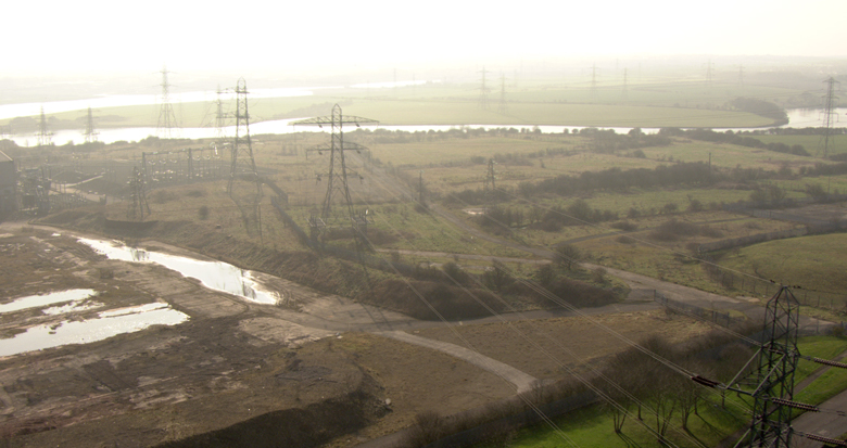
A regular collection of LiDAR allows the automated detection of external changes to the easement. Any of which may impact the operation of the line, access for maintenance crews, or public safety. This is undertaken using 2D and 3D comparisons to previous data on the easement. Changes include reporting the extent of vegetation growth, new or modified roads or buildings, changes to distribution under-build and ground subsidence.
3. Adequate survey planning
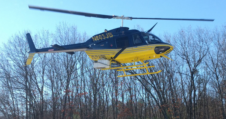
LiDAR data can vary considerably on point density, level of conductor returns, point spacing, and swath width. The choice of LiDAR platform (such as helicopter or fixed wing) will go some way to defining these parameters. As will the choice of sensors, which also vary in capability and are optimised for different heights and applications. Planning must take into account the needs of downstream analysis and the purpose of the acquisition, and will go some way towards defining the cost and usability of the data.
4. Communication and scheduling among data users
Various user groups within the utility have differing needs and schedule expectations from data. The challenge is coordinating both procurement and data sharing. Creating a project that aligns to the needs of the different user groups (e.g. vegetation management, engineering or asset management) will avoid duplicate work and maximise the value of the geospatial data and derived products. Working with suppliers to help them understand the data’s critical path and then building that into the project specification is key.
5. Adding sensors to existing surveys
A large part of the cost in collecting aerial LiDAR is the aviation element. Where practicable additional asset information can be collected through the use of a further sensor. For example, imagery is sometimes collected as part of a vegetation LiDAR focused project. This imagery can serve property, environment and other users for often a small marginal cost. We see this approach reducing or replacing additional inspection operations, presenting real cost saving opportunities.
6. Post-survey analysis
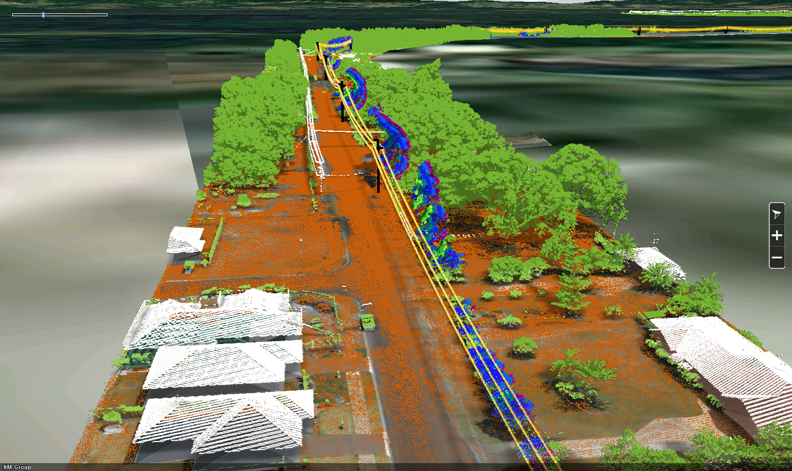
The data itself is a means to an end; and it is the extraction from it which is the key value item. It follows that the more a LiDAR dataset can be exploited for information, the more it can benefit the organisation. Data can either be processed to a higher level of usability during the project or future processing conducted when the need arises. Network data can often be used for many years, making it a valuable resource. For example, applications include re-processing thermal rating LiDAR data for understanding network connectivity or for planning a new powerline.
7. Communicating findings broadly
The technological trends of cloud-based computing and remote access to information have significant relevance for network operators. A web-based interface to communicate key datasets and information, such as critical danger trees or infringements, allows both these advances to be exploited, overcoming the time-to-user problem.
The value in such a tool is that new information can be overlaid on old, updates are efficient and communication of new data is instantaneous. Such a platform might contain say blow-out conductor positions, imagery and vegetation infringements for the whole right-of-way, allowing multiple user groups to simultaneously access the geospatial information.
8. Procurement
Overly specific technical flying and equipment requirements add to the complexity of delivery and reduce competition. Conversely, under-specification in terms of data quality, image detail or relative accuracy can lead to data which has less usable value or needs additional processing to bring it to the required level. Highly aggressive schedules, non-contiguous lines to be flown, and projects at the edge of the flying season all create risk or additional work, all of which is passed on as cost to the utility. It is therefore essential to ensure that the work specified is fit-for-purpose and that risk factors are understood during procurement.
Conclusion
Throughout this time we have observed that there are a number of key ways in which a utility may ensure LiDAR is, and remains, a valuable investment. Conversely, there are some missed opportunities when using the data. At NM Group, we believe that multi-departmental engagement, in which a LiDAR program serves a range of departments and ensures useful information gets to users, will provide a positive return on investment. This however requires forward looking collaboration within the utility and a holistic approach to data acquisition and utilisation.