As-built records for more than 50 miles of rural transmission lines in Ohio
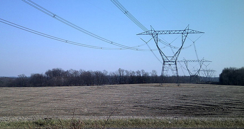
An Ohio utility with over half a million customers, has commissioned an aerial LiDAR survey of transmission circuits within its system. The lines to be surveyed total over 50 miles and are situated in predominately rural areas.
The project will ensure that the client will have an accurate and up-to-date picture of the condition and position of their assets, helping them to manage operations and maintain regulatory compliance.
Learn more about how NM Group use remote sensing technology to provide objective, audit ready asset information for network operators.