Connect the dots - How a joined-up approach to LiDAR data provides maximum value for power utilities

LiDAR is an established technique for rapidly surveying networks and the surrounding areas. When used effectively, LiDAR can generate operational savings, maintain regulatory compliance and increase network reliability.
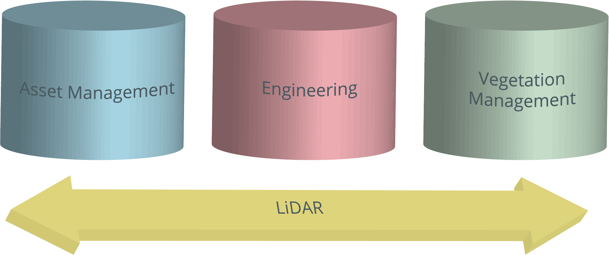
There is a danger in any large organisation to function with a ‘silo mentality.’ In the context of a utility, this can mean asset managers, engineers and vegetation managers operating with separate agendas, and each with differing LiDAR data requirements:
- The optimum time of year is likely to differ for engineers and vegetation managers due to budget formation, existing maintenance cycles and tree growth
- Point density and accuracy requirements, and level of processing required
- Coverage; while the engineer may be interested in the immediate asset, the vegetation manager is interested in the area surrounding the powerline.
While widely accepted as an accurate means to survey the power corridor, LiDAR can be perceived as an overly expensive and at times unwieldy tool. This perception is often based on LiDAR providing benefit for only one group or department. Changing how LiDAR is approached alters the balance of cost and effort against organisational benefit.
Engage multiple departments in LiDAR use
A multi-use mindset for the data and reusing previous data and models rather than discarding them, will gain the most value from LiDAR. Making use of engineering models which currently exist, or are created during the first flight over the line, makes determining new vegetation clearances very quick and cost-effective. Once the conductor position is defined in a PLS-CADD™ model, subsequent inexpensive survey flights can acquire information needed to determine vegetation clearances. This data can also be used to update the original engineering models through a change detection process. Conversely, LiDAR data acquired as part of capital programs such as line up-rating or refurbishment, and which may not be captured at the most suitable time for vegetation, can be utilised to audit vegetation cutting work and inform on growth models, providing a similar benefit.
Collect additional data on the same flight operation
A large part of the cost in collecting aerial LiDAR is the aviation component. If imagery is collected alongside LiDAR, as part of a vegetation focused flight, it can have various uses at small additional cost. This approach may look to replace other flights which currently take place on the network. For example, by using high resolution oblique facing cameras, which are either fixed or pivot to point down the easement, a ‘virtual patrol’ from a desk can be completed, saving additional patrol hours and of course cost.
Share data across departments
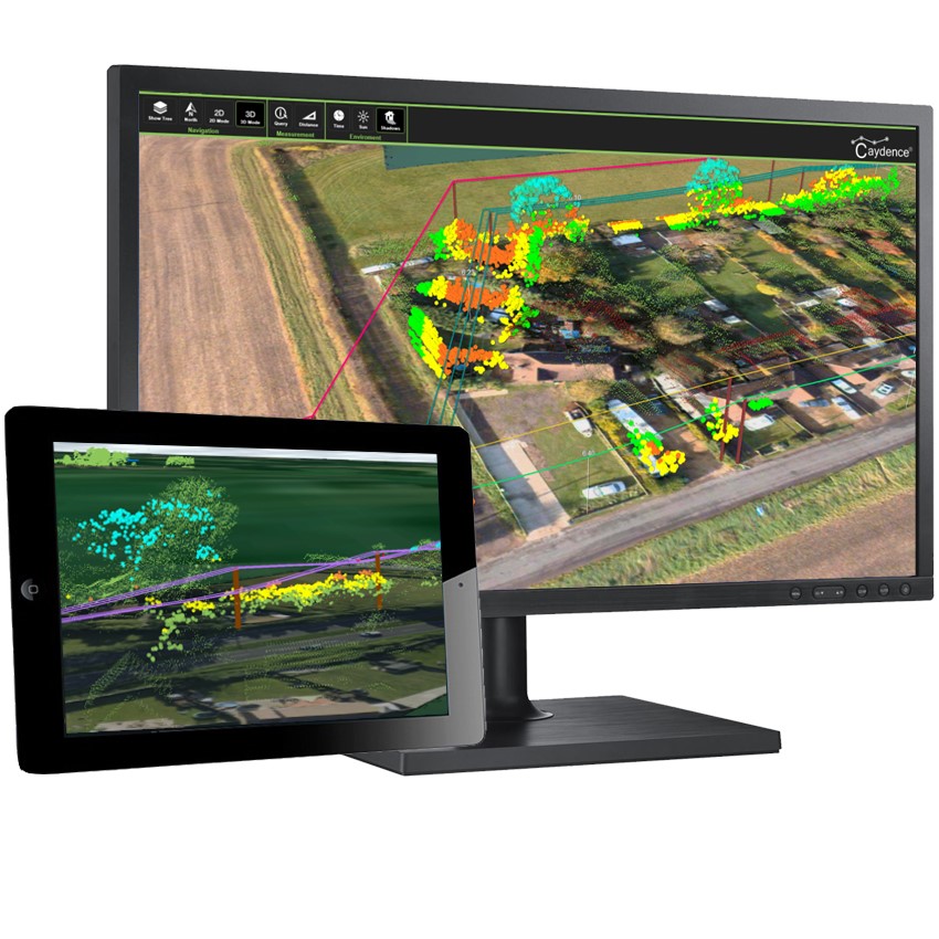
Advances in cloud-based computing have had significant relevance for the ease of use and accessibility of aerial LiDAR data. Key information, such as critical danger trees or infringements, can be displayed via a web-based interface. New datasets can be overlaid on old, updates are efficient and communication of new data is instantaneous, without the need for specialist devices and infrastructure. Information can also be accessed remotely via tablet, improving time to user. Asset data is unlocked, enhancing productivity and leading to better, faster decision-making. The whole business benefits from improved collaboration and subsequent workplace efficiencies.
A joint procurement approach across asset management, vegetation and engineering can make LiDAR more cost effective and manageable, avoiding duplicate capture and maximising its value. The use of existing asset and engineering datasets makes the analysis more efficient and accurate, and the use of additional sensors spreads cost further by addressing wider business needs. Change detection routines, vegetation inventory and outputs which align to existing work processes and systems means LiDAR can generate operational savings, maintain regulatory compliance and increase the reliability of easement management activities. LiDAR represents a huge value proposition for the entire organisation, when it is procured holistically, data acquisition is fit for purpose and results are converted into rich, actionable information that is accessible business wide.