LiDAR technology in practice - Aerial LiDAR Survey
In this blog series we are talking about, yes you guessed it… LiDAR. It’s one of the principle remote sensing technologies that we use at NM Group so its worthy of some explanation. In this four-part series I will be covering the basics of what it is, common uses of the data and some of the different methods used to acquire the data. First up, Aerial LiDAR Survey…
So what actually is LiDAR data?
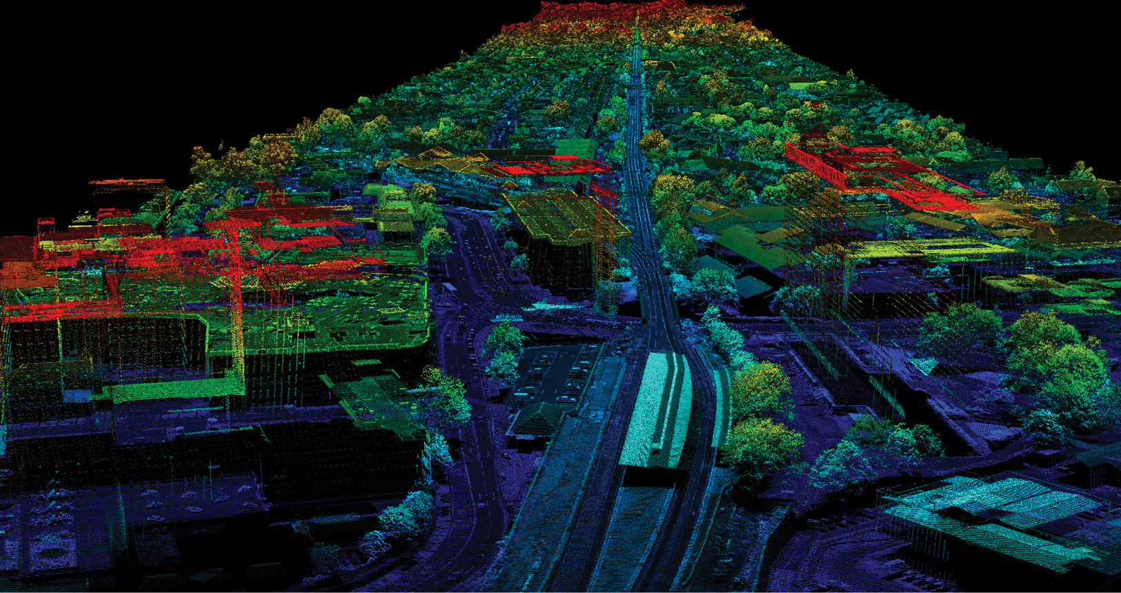
First let’s deal with the jargon, it’s an acronym that stands for Light Detection and Ranging. It is a remote sensing method, that uses laser pulses to scan the surface of the ground and other objects to obtain very accurate survey measurements. When a laser pulse encounters a surface it reflects back and a measurement is taken in 3D. Hundreds of thousands of pulses are emitted from a LiDAR sensor, forming a very dense collection of measured points – more commonly known as a ‘point cloud’.
What is Aerial LiDAR survey?
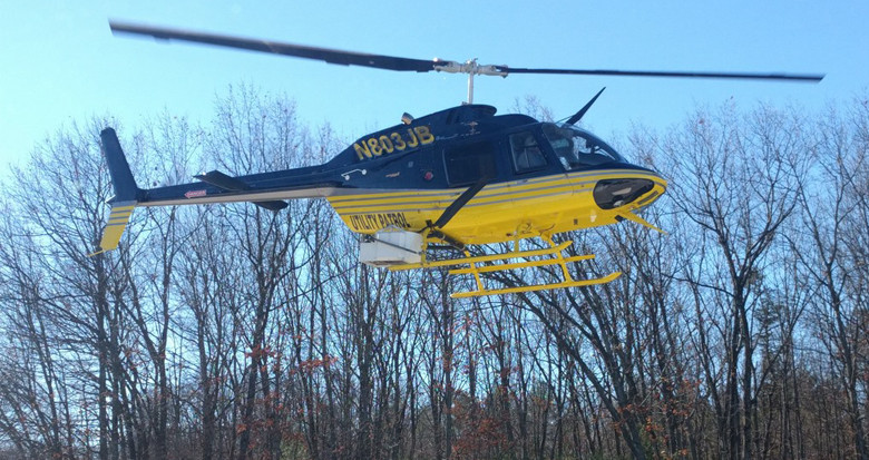
Aerial LiDAR is a method of acquiring laser data using aircraft. Typically using helicopter or aeroplanes to fly a laser scanner over the area of interest. The aerial perspective means that the survey can be completed quickly and allows the operator to avoid traversing difficult terrain. Depending on the purpose of the survey you can fly at high altitude or relatively low level, in order to maximise the efficiency of the project. It can provide a highly accurate cartographic or engineering grade level of survey product.
What are the benefits?
- Efficient - One of the most efficient tools for acquiring high-density and high-accuracy geo-referenced spatial data for various applications; essential to power line asset management.
- Rapid collection of data – Aerial LiDAR capture is rapid compared to most other acquisition methods
- Versatile - Wide range of aerial platforms (aircraft) depending on data collection requirements with differing altitude, speed, coverage and costs
- Cost efficient – Demonstrable cost savings over traditional survey methods
What are the applications?