New 91-mile aerial LiDAR project to increase reliability of transmission lines
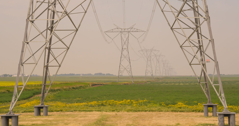
A major west-coast utility has commissioned a new project to survey 91 miles of transmission lines. The circuit will be flown to collect LiDAR data and high resolution imagery, included detailed structure oblique images.
The data will be processed and modelled in PLS-CADD™ to support the utility’s engineers in managing safety and reliability of the system. In addition, the close up structure images will provide a library of asset images for checking for component failure. Learn more about geospatial data applications for electricity network operators.