Successful Completion of Australian Project: Efficient and Ahead of Schedule

NM Group is proud to announce the successful completion of our recent project for Transgrid, a major utility based in NSW, Australia. Demonstrating our commitment to excellence and efficiency, we completed the project ahead of schedule, delivering high-quality results for Transgrid's bushfire mitigation program.
Project Overview
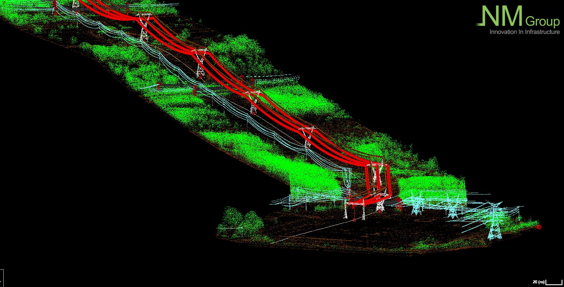
NM Group has been collaborating with Transgrid since 2020. This project involved delivering a high-accuracy aerial LiDAR survey and analysis for Transgrid's 13,000 km transmission network and the surrounding environment to support their annual fire safety program. New South Wales is at high risk of bushfires, and the impact from a fire event can be devastating. As such, this has been an incredibly important undertaking for NM Group.
Our field operation team began data acquisition on February 1 and completed the survey across all networks by February 28—an impressive feat, averaging 650 line km per day!
Once all data was collected, it underwent several processing and analysis stages. The project was fully delivered on May 24, one week ahead of the contract deadline. Our team of GIS and engineering experts worked diligently to ensure the data was processed swiftly and accurately. We utilised advanced automation technology to analyse the data, providing detailed insights into vegetation encroachments and potential risks. This rapid turnaround supports effective decision-making and enhances operational efficiency for our clients.
Key Project Achievements:
- Timely Completion: We completed the project ahead of schedule, proving that airborne LiDAR surveys for large networks can be both quick and highly accurate.
- Comprehensive Deliverables: We achieved a fast turnaround while ensuring high-quality deliverables, which are crucial for our utility clients.
Enhancing Vegetation Management with Geospatial Analysis
At NM Group, we understand the challenges utility companies face with vegetation risk remediation and regulatory compliance. Our solutions are tailored to meet each client's unique needs, ensuring efficient and cost-effective management of vegetation encroachments.
Benefits of Our Approach:
- Improved Accuracy: Remote sensing enhances data accuracy and minimizes the risk of overlooking critical areas.
- Reduced Turnaround Time: Our efficient processes ensure rapid data acquisition and analysis, facilitating prompt decision-making.
- Customized Solutions: We work closely with clients like Transgrid to develop bespoke solutions that address specific requirements and constraints.
For more information on our services and how we can help you manage your assets effectively, please contact us.