Nine business benefits of a technology-led vegetation management approach
by Matt Churches, Vice President of Utilities at NM Group
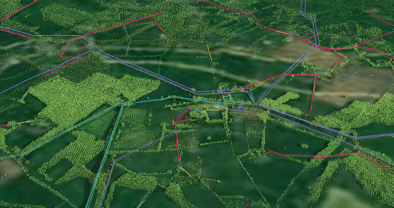
Technology does amazing things in all aspects of life. Where would we be without our smart phones or tablet? At NM Group, we are passionate about the very latest in geospatial technology and its applications for improving the efficiency of our client’s network operations. So, how can a technology-led approach benefit vegetation management?
Here are nine clear ways that an electricity network operator can benefit from using a technology approach to vegetation management:
1. Demonstrating regulatory compliance – Accurate spatial coordinates of the vegetation position, relative to conductor/structures, explicitly demonstrates that vegetation management activity is occurring. This is an auditable methodology and protects a utility in the case of an incident or dispute. You can prove that your ROW is being managed at a specific point in time.
2. Targeted vegetation cutting (scoping) – Using objective data to task vegetation contractors to specific locations, rather than having them patrol and then cut a specific area. Precise scoping data ensures equal understanding among multiple vendors when bidding on utility contracts. This increases competition and drives down costs, due to less uncertainty for vendors when costing their work. Cutting programs are optimized and costs for a utility lowered, as contractors have access to more detailed information.
3. Targeted use of herbicide (planning) – Many utilities use herbicidal management techniques and precise data enables accurate, targeted application. The tree canopy location, volume and species can be identified by applying vegetation analytics, allowing better planning. More precision often reduces the number of trees being treated and can produce cost savings in the 3-10% range.
4. Identification of problems and prioritisation – Determines beyond any doubt where grow-in and fall-in infringements are occurring, allowing a utility to take action; increasing system reliability and reducing cost from outages. This will also reduce political cost of network downtime and can save on regulatory/legal penalties that could be incurred should a major outage ensue.
5. Contractor checks (audit) – Using the results of the data post-cut, to determine if proper cutting practice has been applied. This tends to improve contractor performance, providing a clear audit trail to ensure contractor accountability.
6. Localized growth rates – Different tree species grow at different rates. By monitoring changes in growth over the network across multiple years, a pattern will emerge showing the differences between growth in network areas. This enables condition-based cutting, reducing cutting costs on low risk locations.
7. Storm risk mitigation planning – The proximity of a tree to the line can be used to show where it will impact, when and if it falls due to high wind or ice loading. Storm risk on the network can therefore be quantified, allowing pre-storm preparation and vastly improved post-storm response.
8. Allows for optimization of the vegetation management program – The LiDAR data baseline facilitates the use of routines which can determine the lowest-cost cyclical approaches under different cutting scenarios – i.e. applying 2 year cycles in some areas and 4 years in others due to different grow-back rates and the cost of revisits. This helps reduce the cost of management and produce lower risk outcomes.
9. Further value from data set – Due to the ubiquitous nature of the data it can be used beyond the vegetation management application to enhance other areas of the utility. Typically it can add value to engineering (providing crossing/ground/underbuild wire clearances), new build projects (delivering location of existing lines and the terrain profile), and asset management (condition assessment, maintenance and location access information).
A technology-led approach delivers huge value to a utility. The exact amount this approach will save depends on a number of factors. Every network is different and individual facets need to be explored to determine actual efficiency and cost savings. However, in general a utility looking to take that next step towards a geospatial approach to vegetation management will find that:
You will end up cutting LESS – environmental and political benefit
You will spend LESS – with reduced cutting and less regulatory impact on revenue
The network will be more RELIABLE – reduces legal liability and regulatory pressure