Whole-of-network project to use geospatial data to optimise vegetation management
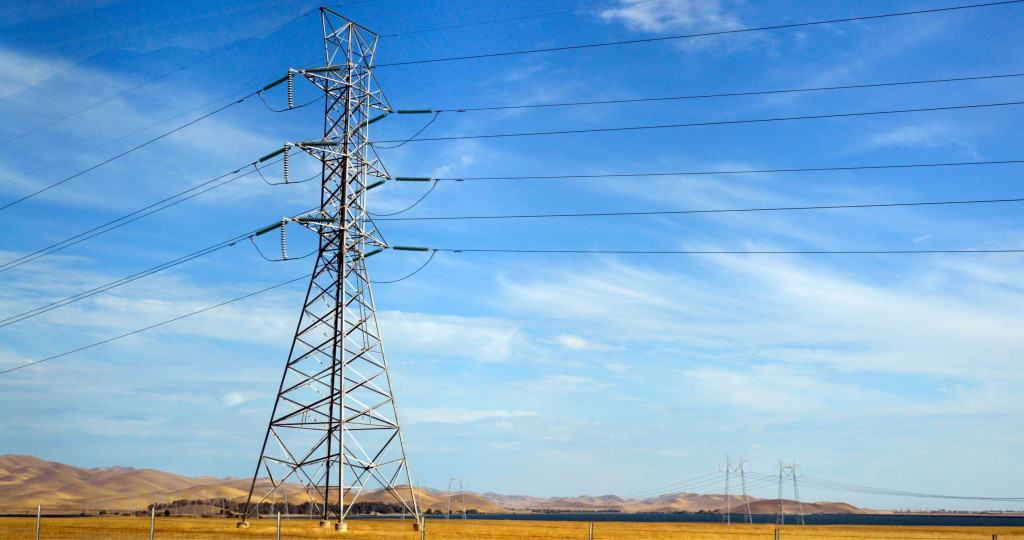
NM Group are delighted to have been awarded an whole-of-network project with a prestigious West-Coast network operator. Delivering over multiple years, the project will map and analyse both transmission and distribution lines. Using the latest in aerial LiDAR scanning technology and high resolution camera systems, the project will collect highly accurate network data.
Additionally, the project will also benefit from NM Group’s intelligent workflow to deliver advanced Vegetation Analytics. This will provide a suite of UVM information including risk based encroachment reports, cutting maps and tree inventory maps. Our client will use this data to optimise their vegetation management operation, prioritising and improving cost efficiencies.
Learn more about NM Group’s vegetation management services.