A Closer look at…. Tower spotting new powerlines
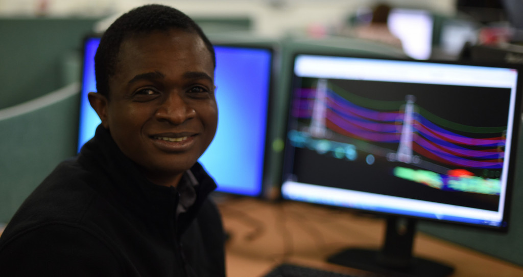
Learn about NM Group’s approach to new route design from Tola Aina, one of our highly experienced Powerline Engineers. He explains how he uses CAD analysis to objectively spot towers in the optimal location.
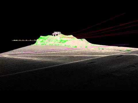
Remediation and up-rating projects both consider as-built design of overhead Lines. We model the line as we’ve surveyed it in PLS-CADD™. Based on that I can identify constraints and make recommendations. With route optimization I’m not doing that. It is a completely new line design. The client will brief a route corridor from A to B (but it’s never a straight line!). We still carry out aerial survey to capture LiDAR data and imagery for the corridor and for lines where there might be a potential crossing. We don’t model these lines, but establishing where an existing line goes across the proposed route is very important.
Firstly, you must define how the towers will relate to each other (the alignment) using the design criteria that the client has given. Normally, the client would provide their design criteria, which is what they want the design to achieve. This includes the clearances that they need to meet, distance to ground and any areas where the new line can’t be situated. They want to rate it at a certain temperature rating without infringing those clearances. Then there are structural requirements for the towers they have given us to be fully utilized. The client will also define the type of tower to be used.
“In the past we have had to tell clients that the towers they planned to use were not strong enough, preventing an expensive mistake.”
Optimization or tower spotting is carried out using PLS-CADD™. The software will look for the ideal position for the towers within the defined alignment. There will be constraints to contend with. As an example, there might be a school or protected environmental area. Another example might be having to spot around regions with historic value. These areas become a prohibited zone where a tower cannot be spotted.
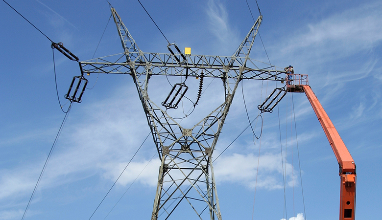
Another complication might be a river crossing. Depending on the length of the crossing and the type of tower design the client has specified , the overhead line may not be able to span the river. It is clearly more expensive to put a tower in the river. You can therefore point out that it is not possible to span this river with the current towers, and recommend building two special towers to span this river and meet regulatory requirements. In the past we have had to tell clients that the towers they planned to use were not strong enough, preventing anyone making an expensive mistake. Before you’ve been to site or even planned the final design, you can tell that the towers won’t work and that the project will need much stronger towers.
Building a transmission line is expensive because of how much steel is used in building the towers. Route optimization gives the client the most effective, cost efficient solution, meeting all the regulatory and specific thermal clearances and structural requirements. Capturing LiDAR and imagery aerially means you can use this data and the client’s design criteria to tell them their options before going to site or doing any construction. When I design a new line, I can check that it meets all the clearances at certain thermal ratings. I can identify the constraints and re-optimize the line, by running the program and then using engineering judgment to ensure it meets clearances.”
Read more about our route optimization service here.