LiDAR mapping
NM Group uses the latest Light Detection and Ranging (LiDAR) technology to collect positional data for our client’s assets.
With more than ten years’ experience in 3D LiDAR mapping and extensive knowledge in aerial mapping, NM Group provides an effective method to survey both the natural and man-made environment.
Using state-of-the-art remote sensing technology, we can provide a number of geospatial outputs such as point clouds, classified LiDAR and Digital Elevation Models. LiDAR also forms the basis of our further analysis such as our Thermal Line Rating and Utility Vegetation Management service.
What LiDAR Mapping Is and How it Works
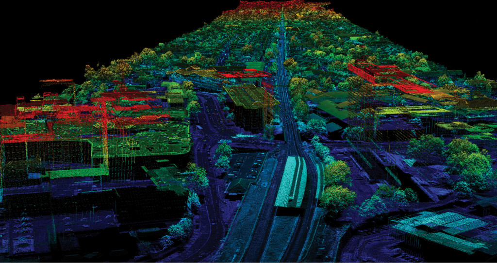
LiDAR Mapping is a remote sensing mapping technology that uses calibrated laser returns from the earth’s surface which are then reflected back to a GPS-monitored helicopter that densely samples the surface of the Earth.
This sample is incredibly detailed, LiDAR data can determine the precise elevation and geospatial location of each measured point. An accurate 3D topographical aerial map is created. This method if effective for both surface terrain environments and heavily built -up urban areas.
NM Group has the technology and capacity to deliver high-quality, cost-effective mapping services that are completely bespoke to each client. These are compliant to multiple LiDAR specification guidelines such as USGS and ASPRS.
What Are the Key Benefits of LiDAR Mapping?
- Provides an accurate method to survey above ground assets
- Penetrates tree canopies to deliver ground profiles even in forested areas
- Airborne LiDAR is rapid and cost effective
- Provides the position and condition data for further analysis
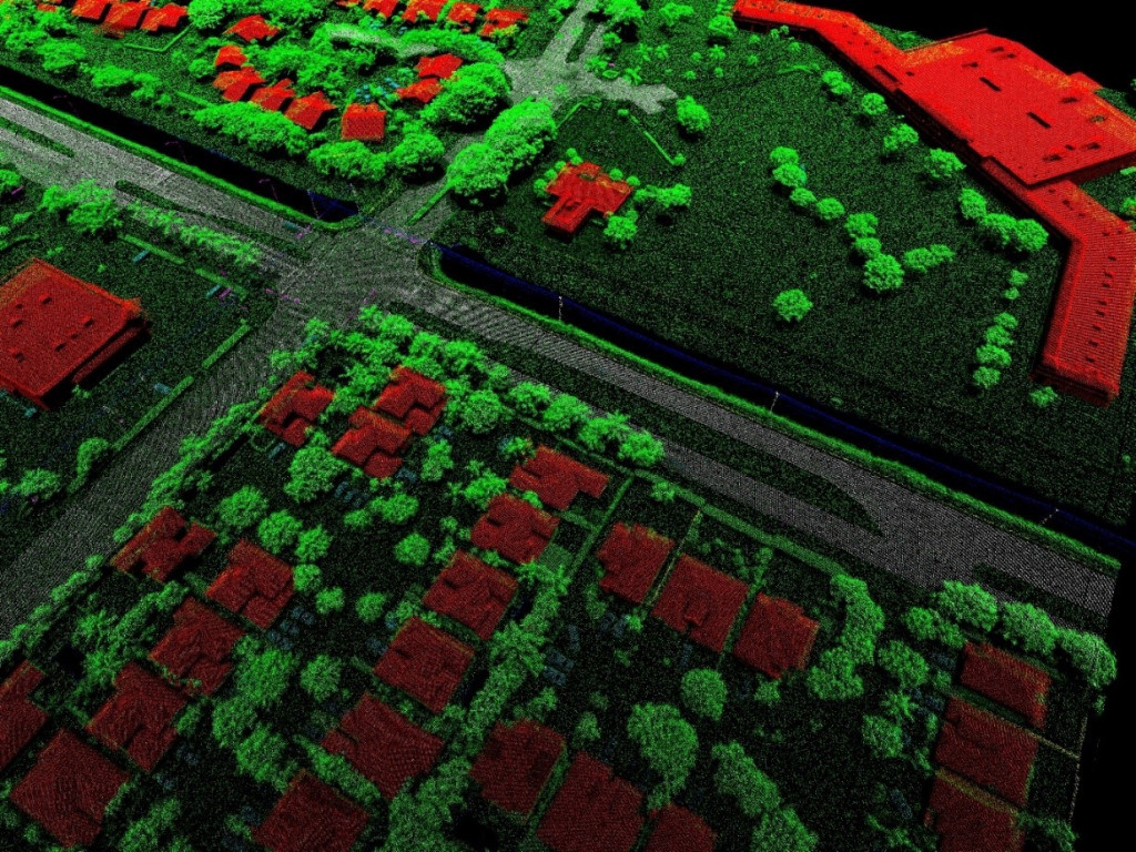
LiDAR Mapping Applications
Infrastructure development, natural resources management, urban planning, economic development, floodplain mapping, transportation, heritage and archeological sites – all can benefit from our aerial mapping technology. There are many application areas for airborne sensing technology.
Why Use LiDAR Mapping?
Flood Modeling
LiDAR mapping provides floodplain managers with critical data to prepare and recover. Coastal and river digital elevation models can be created from LiDAR and be used to model flooding events.
Infrastructure Models
Corridor mapping, decision-support tools, change detection. Our airborne LiDAR ease transportation congestion and bottlenecking by monitoring network conditions and promoting security for people and cargo.
Forestry & Heritage Mapping
Our sensing technology can penetrate tree canopies & vegetation with ease, sensing densely foliated areas in ways other remote sensing technologies cannot do. This makes it ideal for archeology and forestry applications. We can provide aerial photography, DTM and DEM data using high resolution mapping.
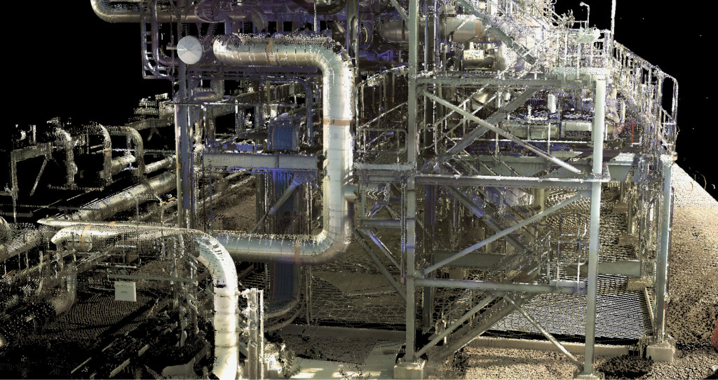
Utility Network Projects
From maintaining existing lines to minimizing outages, LiDAR mapping can provide support in corridor mapping, right-of-way alignments, bespoke GIS and site-selection studies.
Why Choose NM Group?
Our next generation scanners provide high-resolution mapping detail of exceptional quality. We will create fully customized surveys to help your company cost projects more accurately, avoid risk with technology and provide pre-planning options. Effective LiDAR mapping eliminates
Get in touch with us to learn more and discuss your specific needs.