Aerial LiDAR project to help connect remote communities in Ontario
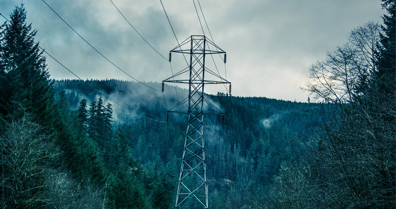
NM Group are delighted to have been commissioned to carry out a 1500km aerial survey for a major Canadian utility involved in a vital development to connect remote communities to the grid. The flight will capture LiDAR measurements and high resolution downward imagery, in order to produce precise mapping and engineering CAD models.
This project will equip the utility with critical information to begin the design of new overhead transmission lines, as well as facilitating further analysis of the existing system.
Learn more about our route optimization service.
