Airborne LiDAR to be used to survey electricity network in Queensland
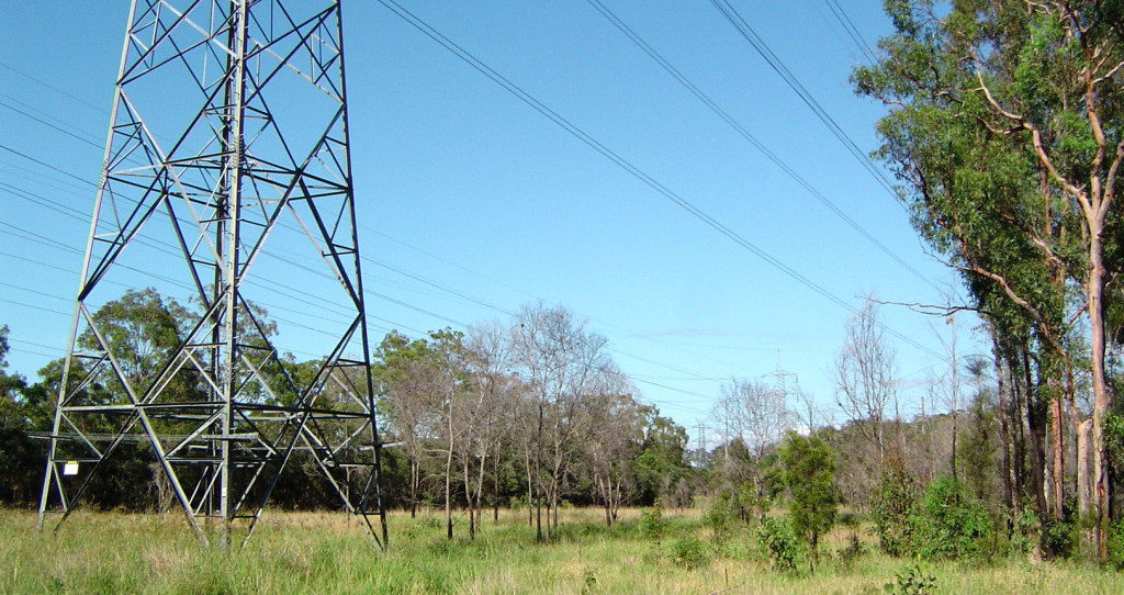
Powerlink will use aerial surveying technology to undertake an engineering assessment of their Northern and Central transmission network. Working with NM Group, the project will use helicopter laser (LiDAR) scanning to identify maintenance issues and update records on over 3000 km of powerline.
Provided by NM Group, the updated drawings will enable Powerlink to plan improvement work, manage vegetation risk and help plan future powerlines. In addition, NM Group will also assist with engineering designs.
Aerial LiDAR technology will be used to take thousands of accurate measurements providing the high level of detail needed to model Powerlink’s network. The work will form an important part of ensuring the safe and reliable power transmission for the utility.
Shane Brunker, Technical Director of NM Group commented, “This is an important project, that will help Powerlink continue to deliver a reliable service to Queenslanders. Powerlink have used LiDAR and geospatial data for many years. I am really pleased they selected NM Group.”
About Powerlink
Powerlink delivers electricity to almost four million people across its 1,700km transmission network and provide network connections for large-scale generators and major industrial customers including rail systems, mines and mineral processing facilities. www.powerlink.com.au