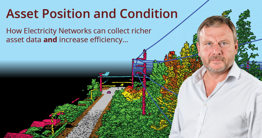
Asset Position and Condition
Data gathering is an essential task to understand the health of a network. However, many operators are missing out on the cost efficiencies available through using technology to combine routine asset inspection patrols more effectively. In this interview David Langworth, General Manager at NM Group (part of Trimble Inc.) discusses how combining asset condition with other datasets can realize major advantages.
So when you talk about delivering asset position and condition what exactly do you mean?
Network operators gather position and condition information all the time. They need to know where their assets are, for example to know if a tree is too close to a line. They may also need to know if a line has sufficient clearance to ground or other objects. So there is already a need to gather positional information to determine this.
In addition, they also need to check the physical condition of their assets, which they do through a variety of means. When I talk about combining position and condition I am referring to the efficiencies available of gathering both at the same time. Some utilities (noticeably in Australia) have been using this approach for a while but for most of the world this concept hasn’t yet been adopted.
Do utilities often collect data in multiple, separate tasks?
They are often carried out separately. Someone could be going to site because a line has tripped and they want to check if the trees are too close – that’s position. Or they could be going out to check the degradation of insulators on a pole – in this case condition. Which is again different to checking if signage is clearly visible or a wooden pole is rotten. There could be many visits for many different aspects of position and condition.
How does gathering this data work in practice?
We have tested a range of different approaches that allow us to combine LiDAR for position with different condition sensing systems such as HD video, close-up imaging and Corona and Thermal Infrared. We've also pioneered a sensing system and fast-turnaround processing approach that works with an existing helicopter patrol routine, without interrupting their primary mission
What information can utilities get in a single flight?
With the latest sensor technology, it is possible to check for a whole host of defects – clearances issues, broken or missing components, if signage is obscured, hot spots and electromechanical weakness to name but a few. There are a few limitations with sensor technology, you can’t check for pole rot without putting boots on the ground for example. However, you can vastly reduce the number of trips to the field by consolidating most condition assessment tasks using this technology.
This presumably means more and more data, what can an operator do to manage this?
Often the problem is that when network operators use contractors to complete various assessments they frequently have as much work again in analyzing the plethora of reports.
However, if we knew the policy and priorities of the network operator then we would deliver prioritized and actionable information. For us, it’s about understanding what information drives the decisions.
So a consultative approach to understand a network’s policies and how they work is really critical?
Yes, absolutely. Understanding the operators KPIs and prioritizes is crucial.
You mentioned making the data actionable, could you elaborate?
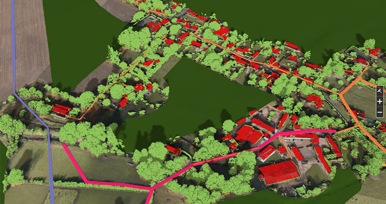
We provide a tool in our Caydence® platform that makes it possible to visualize the network environment, the condition of assets and the position of vegetation on the line. You can also take it a step further by tasking out work to field crews (such as to cut down infringing trees or to fix a broken cross arm bolt). Our service provides field users access to the data and reports on progress as the work is completed. In other words, it provides actionable information and is a long way from delivering just a spreadsheet of data.

Want to know more? Get in contact to discuss how we can design a solution for your network.
