Californian transmission utility uses LiDAR to create topographic maps and assess line ratings
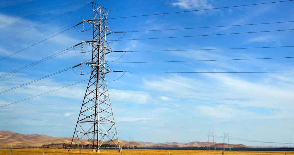
A Californian based power utility is applying LiDAR data to capture two circuits in the south of the state. The project will be used to confirm ratings on the line and also to assist with future engineering works.
Precise aerial laser data and high resolution imagery will deliver an accurate 3D model of the lines in PLS-CADD. The wires will be strung based on the worst case loading scenarios. Utilizing temperature calculations based on the ambient temperature and load data to model their sagged position. Additionally, the data will be vectorised to create planimetric mapping of the corridor and surrounds.
We will also collect close up images of each structure in the project. Creating an as-built reference of each tower and assisting any remediation works.