East Coast network to use LiDAR analysis for utility vegetation management
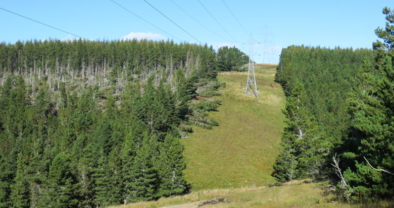
NM Group have been selected by the forestry department at a major US utility to map and analyze four transmission circuits totaling approximately 100 miles. Principally used to identify any trees that represent an urgent fall-in risks to the network, our client will also use the data to demonstrate NERC FAC-003 compliance.
The project will use our advanced Vegetation Analytics to optimize their vegetation management operations. Find out more about this service here.