Engineering drawings modeled for over 500 miles of Northeast network
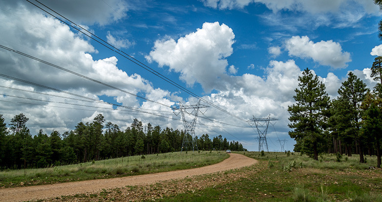
A new project is to begin later this year to model powerline assets of over 575 miles of network for a Northeast electricity network. Assessing mass LiDAR data, aerial imagery as well as electrical load and weather data, we will provide a PLS-CADD drawing of the transmission lines.
As well as confirming Thermal Ratings and clearances this project will deliver 3D topographic mapping of the network. Additionally, our client will also benefit from NM Group Vegetation Analytics. We will generate tree canopy objects from the LiDAR data and create a Canopy Map and vegetation compliance report.