Geospatial Industry: Current Shifts Shaping 2026
By Seweryn Cieslik, Chief Delivery Officer, NM Group
The geospatial industry continues to evolve through practical, experience-driven change rather than sudden disruption. From a delivery perspective, the most significant developments are not defined by individual technologies, but by rising expectations around the use, trust, and integration of geospatial intelligence across sectors.
The insights below reflect the key shifts shaping how geospatial is being applied today and how these changes are influencing the direction of the industry.
“Geospatial has shifted from descriptive mapping to operational intelligence – where trust, quality, and repeatability matter as much as accuracy.”
Seweryn Cieslik
Chief Delivery Officer, NM Group
From Descriptive Mapping to Operational Decision Making
Geospatial intelligence has moved beyond describing the world to actively informing decisions. Increasingly, organizations are using geospatial outputs to support asset risk management, resilience planning, and emergency response, particularly in the context of climate action.
As geospatial insight becomes more operational, the responsibility for delivery increases. Visual impact alone is no longer sufficient. Data quality, timeliness, and repeatability are essential to ensure outputs can be relied upon consistently and with confidence.
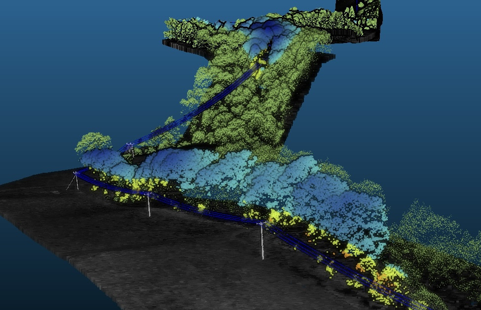
Reality Capture Is Now the Baseline
High-resolution geospatial data – including LiDAR, drone imagery, satellite data, and mobile mapping – are no longer differentiators; they are expected inputs.
The real change is in how this data is consumed. Techniques such as Gaussian Splatting point to a future where complex 3D environments are much easier to explore and share. This has important implications for collaboration, improving how technical teams, engineers, and decision-makers engage with spatial information and work from a shared understanding of the environment.
Data Management as a Core Delivery Challenge
As data volumes grow and datasets become more complex, data management has become one of the most significant challenges in geospatial delivery.
Expectations around turnaround time, consistency, and accountability continue to rise. From a delivery standpoint, scalable processing, clearly defined quality control, and strong traceability are no longer supporting activities – they are fundamental requirements for dependable geospatial outcomes.
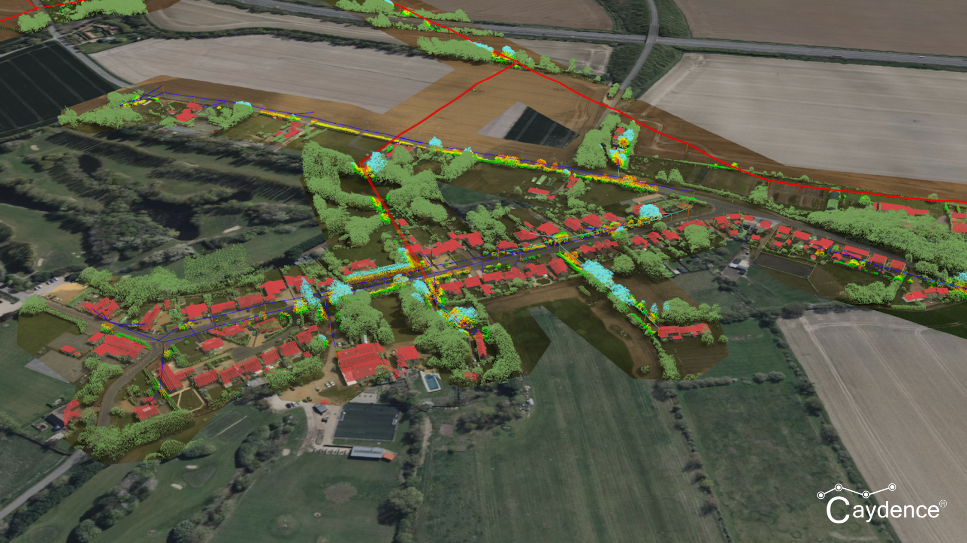
Integration and Interoperability Are Essential
Modern geospatial workflows rarely rely on a single data type or system. Point clouds, imagery, vector data, time-series information, and derived models are routinely combined across multiple platforms.
Data diversification and interoperability are no longer “nice to have.” Organizations that succeed are those that design workflows around integration, rather than individual tools or formats – supporting flexibility, scalability, and long-term value.
Looking Ahead
Together, these shifts reflect a broader evolution in the role of geospatial intelligence. The industry is moving toward more operationally relevant, trusted, and connected use of spatial data.
Geospatial is no longer just about capturing or visualizing information. It is about enabling informed action in complex environments – and delivering insight that decision-makers can rely on.