Innovative project to improve vegetation management operations for 4,000 miles of overhead lines
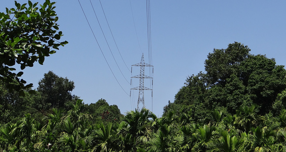
A South-Eastern US utility has embarked on an innovative project to digitize vegetation management operations across 4,000 miles of powerlines. Using LiDAR sensors affixed to existing utility patrol flights NM Group will process the data and carry out analytics to identify any vegetation infringements.
The inspection flights will be enhanced by attaching digital hardware to the aircraft in order to collect LiDAR measurements during each flight. The entire 4,000 miles of the utility’s network will be captured each year.
Once captured, the LiDAR is processed by NM Group’s team of expert technicians. The data is run through our advanced vegetation analytics, providing our client with an objective record of vegetation clearances and highlighting any infringements. The utility will be able to demonstrate compliance, as well as to target vegetation risks, efficiently and cost-effectively prioritizing cutting programs.
Read more about our vegetation management services here.