Measuring vegetation volume in utility clearance zones

As part of a Knowledge Transfer Partnership (KTP) between Durham University and NM Group my colleagues and I been working to develop workflows to extract vital vegetation management information from LiDAR survey data. We have also been looking at how best to present this to utility vegetation managers.
We have seen an increasing demand for utilities wanting to understand the volume of vegetation within clearance zones. Knowing the volume of vegetation for removal can be used for a whole number of purposes. These include accurate planning and costing for utility foresters, auditing previous cutting, quantifying cutting levels for landowners and for estimating recyclable material.
Quantifying the volume of vegetation – what are the options?
One of the simplest ways of doing this is by taking collections of LiDAR points and obtaining a convex hull delineating the maximum 3D extent of a canopy shape. We can then ascertain the volume of the created object which would relate to the volume of the infringing point cloud.
This method can provide an accurate representation of the extremities of the point cloud but can lead to overestimation of vegetation volume through the inclusion of the empty space between LiDAR returns in the created hull object.
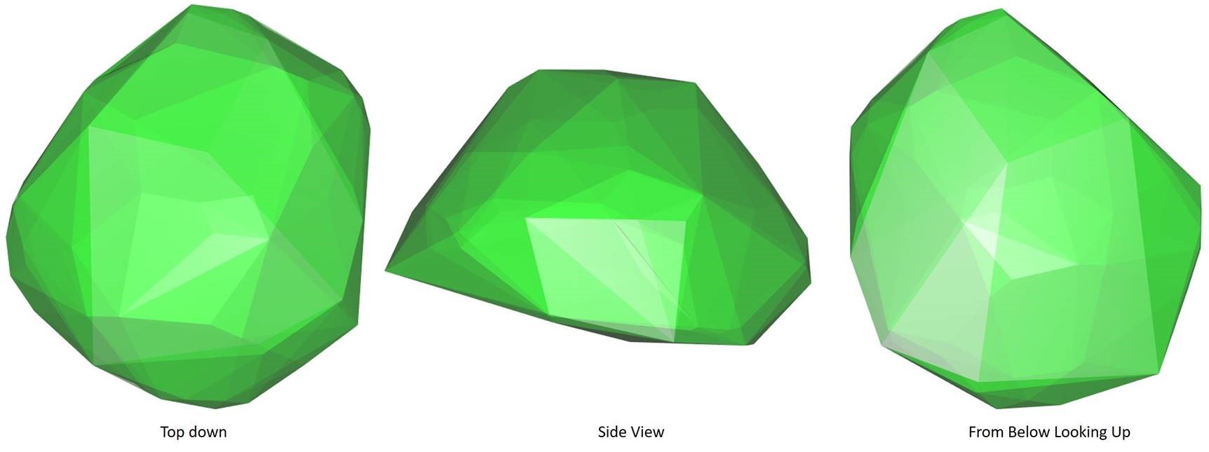
Convex hull volumetric analysis – a simple option but it is possible to overestimate volumes
An alternative method is to generalize the point cloud into voxels or volumetric pixels. The size of these voxels can be flexible to best fit the LiDAR data and minimize empty space. Volume can then be calculated as the sum each generated voxel's volume. However where dense upper vegetation layers shield those below from LiDAR pulses some underestimation may occur. A more sophisticated LiDAR system would minimize this.
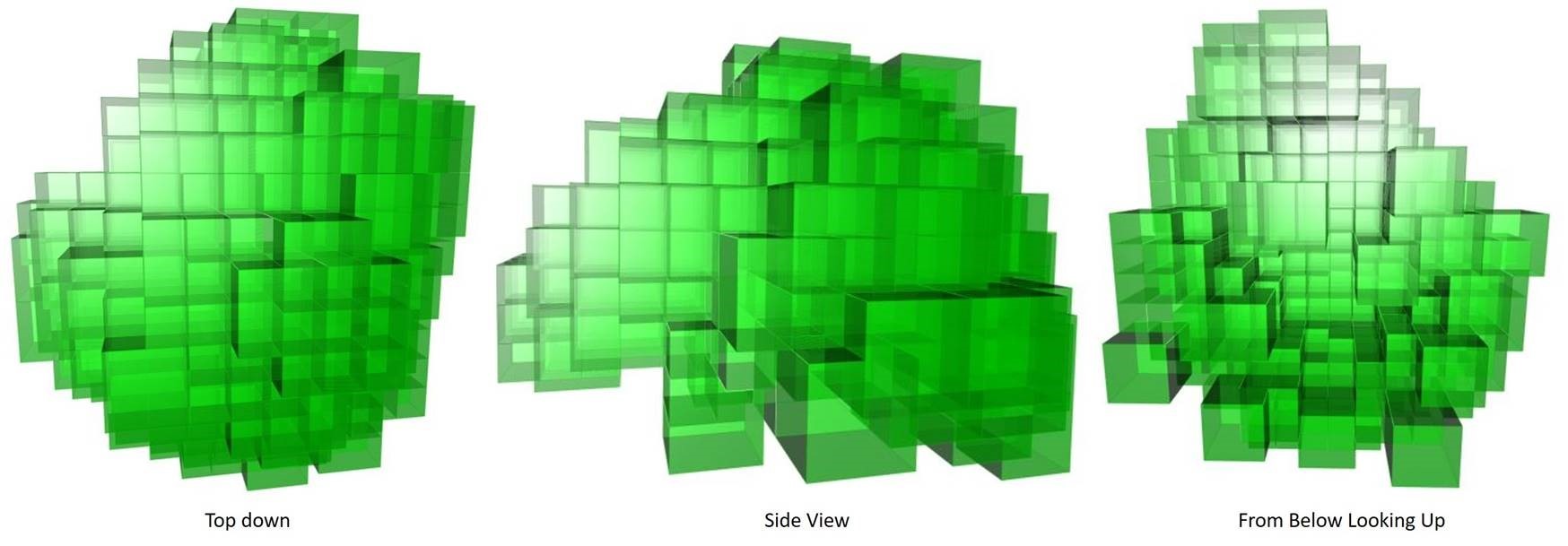
Voxel based analysis – particularly dense woodland may lead to underestimating volumes
In conclusion
These methods can be automated to make them practical over large areas generating volume measurements much more quickly than estimations the field. Both options can be practically used depending on a number of factors concerning to the utility and service provider conducting the analysis. The best option will simply depend on the remote sensing technology and network environment. As part of the KTP process Durham University and NM Group will be continuing to test and refine volumetric methodologies.