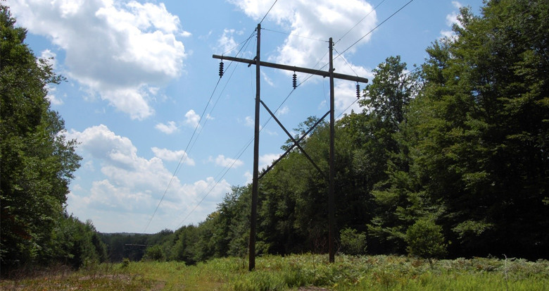
NM Group to assist in project to implement shared-use path along major powerline ROW
A forward looking state agency is planning a shared-use pedestrian and bicycling trail along a power corridor in New York State. NM Group will conduct a 36-mile aerial survey to capture LiDAR and high resolution imagery of the project area. Using the 3D data we will create an accurate topographical survey to assist in the preparation of detailed design drawings for the trail.
Discover the full range of topographical and asset management services we offer electricity utilities.
