Remote sensing to increase vegetation management efficiency for Illinois network
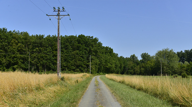
A major network operator in Illinois has commissioned us to survey distribution areas totalling nearly 1000 miles across the system. Using the very latest remote sensing technology our service will allow the operator to make vegetation scoping more efficient, prevent outages and to ensure regulatory compliance.
The areas will be flown to gather LiDAR data including 4-band imagery. We will process the data, including analyzing tree health to identify fall in and grow in encroachments. The project findings will be presented to our client both as actionable tables and through our online 3D platform, Caydence®.
Find out more about the applications of remote sensing technology in vegetation management.