How to upgrade your spatial data
By Tim Hustwayte – Senior Client Manager
From bulk discounts to negotiating a better interior for your new car, it’s natural to want to get the most value from a situation. However when it comes to geospatial asset data, electricity networks are often missing out on achieving the full value of their investment. I wanted to look at how you can upgrade the data you already own to make it work harder and deliver additional benefits to the greater organization.
How can you ‘upgrade’ your spatial data?
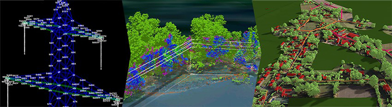
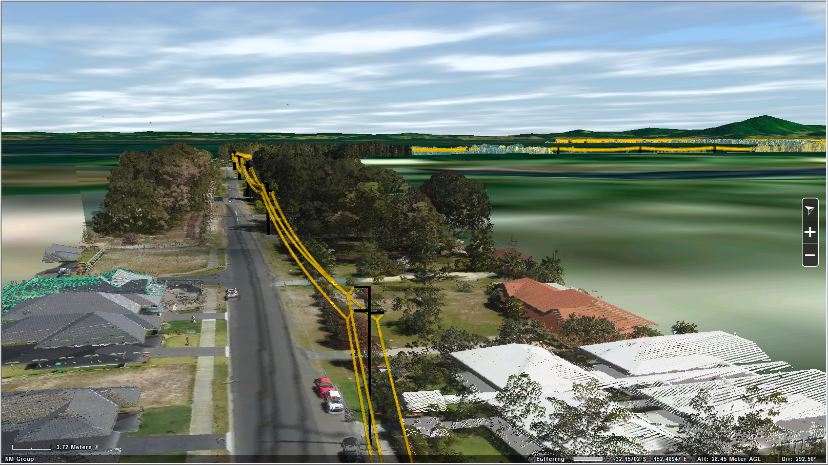
Geospatial data, such as imagery or LiDAR, is normally acquired for a specific application, perhaps to identify vegetation related outage risks or for a feasibility test to up-rate a line. However, a key benefit of LiDAR data and to a lesser extent imagery is its ubiquitous nature. Data is collected on all above ground features and not focussed on just one area for a particular project. This means that very often data can be used for additional applications, boosting its potential value throughout a utility.
Multiple applications from data originally used for a specific project…
How about an example…
Let us consider a project to validate the thermal rating of a transmission line. The same data that provided the inputs for a CAD model precisely measuring the ground clearance could also be reprocessed to determine vegetation risk along the line. Additionally, this could be repurposed for updating the utilities asset register, measuring the right of way, determining vehicular access for site work and much more. Now both the engineering department and asset management group have actionable data to inform their decision making because the remote sensing technology captures data indiscriminately the potential applications are numerous.
Data acquired for creating engineering model reprocessed to determine vegetation clearance distances
So why isn’t everyone doing this?
Many organizations are looking at data holistically, however there are a few caveats. Some uses require a higher accuracy specification in order to be meaningful. Data for higher accuracy applications can normally be used for less accurate requirements. Often the reverse isn’t true. Secondly, and often the biggest reason is that upgrading your data requires a level of expertise. You need to know what is technically possible in order to best leverage the value of existing data. This means having a good level of geospatial understanding within a utility, or working with a supplier who has the required experience.
In summary
Electricity network operators can get much more value by interrogating their existing spatial data for alternative uses. As long as they own their data and understand the level of accuracy available, then it is well worth looking to see what added value can be achieved. Similarly, it is worth considering the wider business when approaching new geospatial projects. If the requirements of various departments (engineering, asset management, vegetation management and environmental etc.) are considered holistically then more value can be obtained right from the start.