LiDAR technology in practice - Terrestrial LiDAR survey
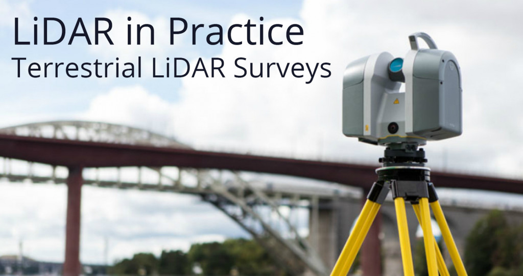
In this blog series we are talking about, yes you guessed it… LiDAR. It’s one of the principle remote sensing technologies that we use at NM Group so its worthy of some explanation. In this four-part series I will be covering the basics of what it is, common uses of the data and some of the different methods used to acquire the data. In this blog we look at Terrestrial LiDAR Survey…
So what actually is LiDAR data?
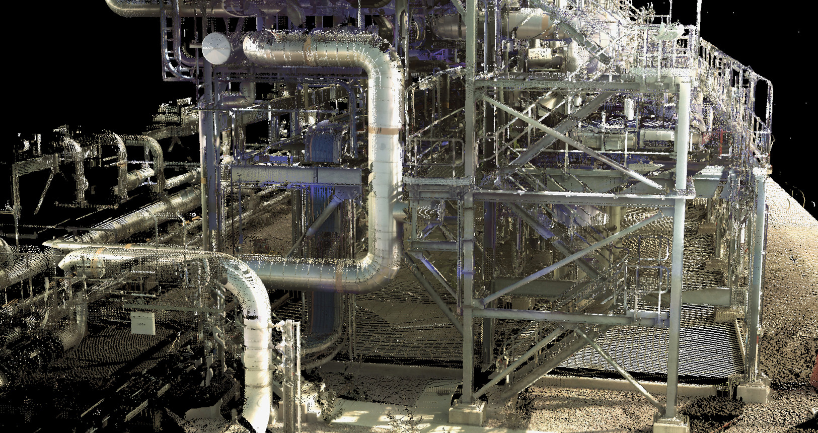
First let’s deal with the jargon, LiDAR is an acronym that stands for Light Detection and Ranging. It is a remote sensing method, that uses laser pulses to scan the surface of the ground and other objects to obtain very accurate survey measurements. When a laser pulse encounters a surface it reflects back and a measurement is taken in 3D. Hundreds of thousands of pulses are emitted from a LiDAR sensor, forming a very dense collection of measured points – more commonly known as a ‘point cloud’.
What is Terrestrial LiDAR survey?
A Terrestrial LiDAR survey (TLS) is a ground-based laser survey, which produces highly accurate 3D data. Using lightweight scanning systems and a tripod, a small team can deploy this technique. Enabling them to survey areas such as industrial facilities, infrastructure, town centers to name a few.
What are the benefits?
- Great for small areas - where high accuracy and lots of detailed measurements are required.
- Speed of acquisition - capable of gathering millions of points in a typical survey session. This means that complex surveys can be completed much more quickly with terrestrial scanners compared with conventional survey techniques
- Accuracy – laser scanning can produce deliverables with a 1-2mm accuracy
- Safer – with a scanning range of hundreds of meters, surveyors can work remotely, away from hazardous locations
- Cost – quicker, more accurate surveys means reduced cost and less need of further survey work
What are the applications?
The possibilities of this technology are almost endless. We have used this survey approach for producing detailed measurements and drawings for electrical substations, oil and gas plant, railway crossings, bridges, mines and even areas of important archeological significance. The limiting factor is that it requires a new set up for each scan. This constrains it's use to smaller areas, however the density and accuracy is excellent. Making TLS an excellent survey tool when you need to measure small or intricate components.
Find out more about LiDAR surveys here