The advantages of geospatial data for distribution network operators
In the dynamic world of distribution networks, one constant remains: the invaluable role that geospatial data continues to play. Since our first large scale distribution project, we have expanded our horizons and completed numerous wide area projects. Through this journey, we have reaffirmed the advantages of utilizing geospatial data, highlighting its relevance in optimizing distribution networks. In this blog we explore why more distribution utilities are adopting a geospatial approach.
Vegetation management
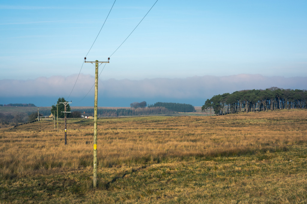
Vegetation managers need accurate network data to ensure they can mitigate the risk of fall-in and grow-in tree infringements. For most utilities the traditional ‘patrol and cut’ approach is time consuming and a major operational expense. Using remote sensing data, utilities can target cutting objectively. Having accurate data helps prioritize the worst vegetation encroachments and identify where no vegetation exists on the network. Reducing unnecessary time patrolling vegetation risk free areas of the network and simultaneously improving service reliability.
Asset integrity
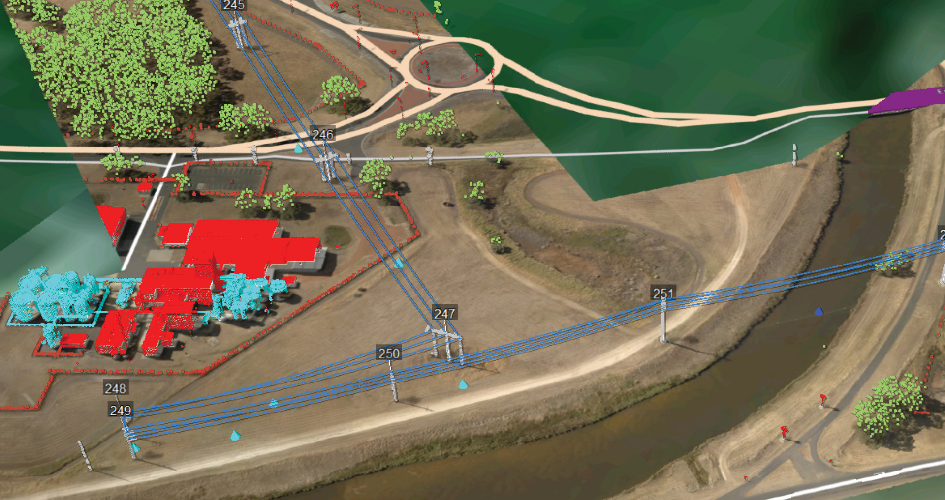
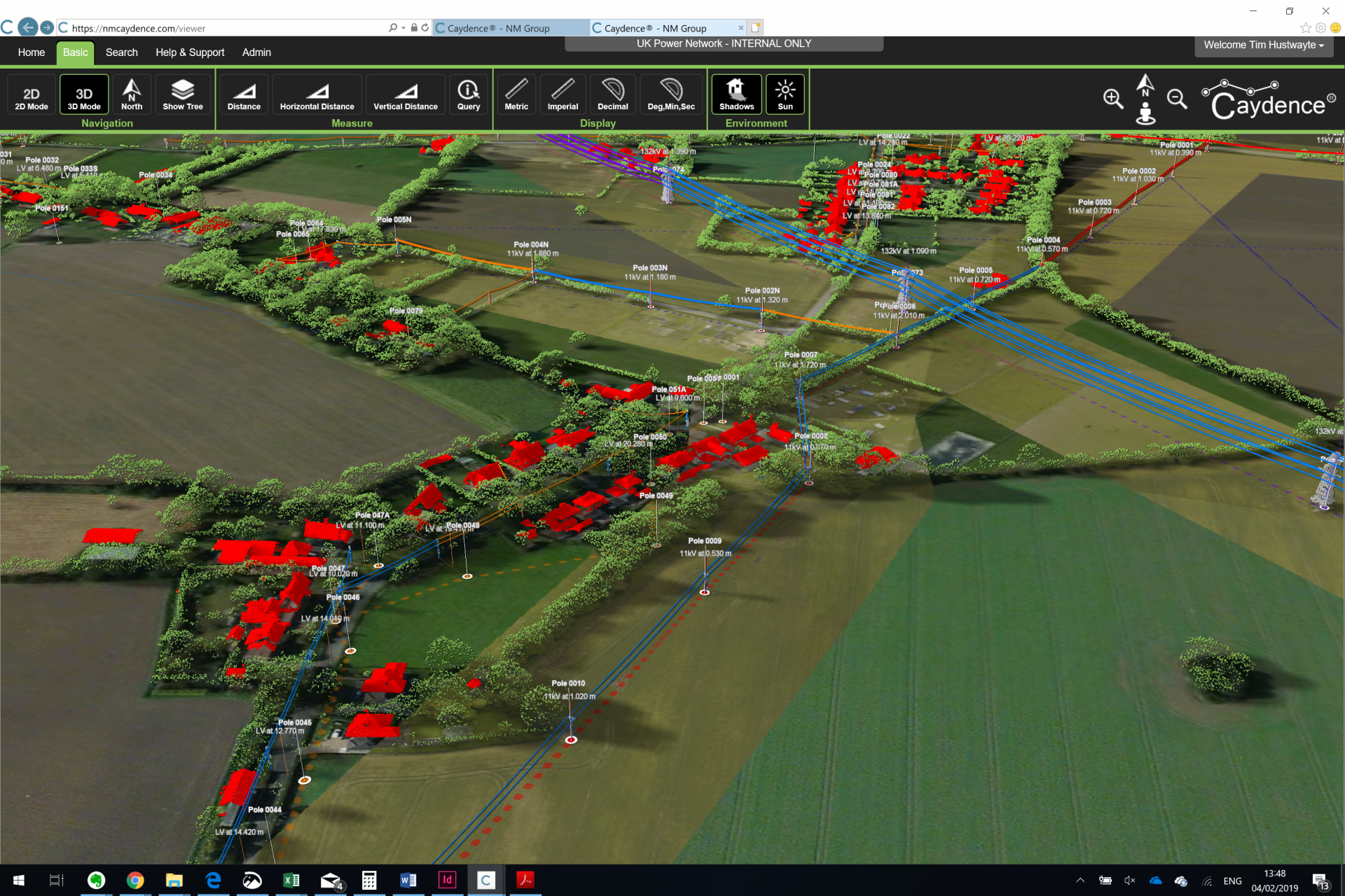
Distribution networks consist of hundreds of thousands of poles and associated assets. Ensuring a complete up-to-date record of this is always going to be a substantial challenge for any operator. Remote sensing techniques, like LiDAR, deliver a cost effective method to update the asset inventory, which can be further supplemented with additional information.
Geospatial data displays the true location and quantity of assets, as well as pole type and phase configuration. This has many advantages across maintenance optimization, disaster and financial planning.
Condition based asset maintenance
Knowing when and where a defect will occur is often difficult to foresee. Standard maintenance cycles usually apply probabilistic methods for predicting asset life. But by collecting more data through remote sensing technology it is possible to achieve a more comprehensive idea of an assets condition. This can be high resolution imagery or video, but often uses infrared or ultraviolet sensors to ‘see’ non visible defects, like hotspots or electromechanical weakness. These asset records also allow an operator to make more informed investment decisions on whether to maintain or replace. It also provides an asset image library to better understand the assets before sending teams to the field.
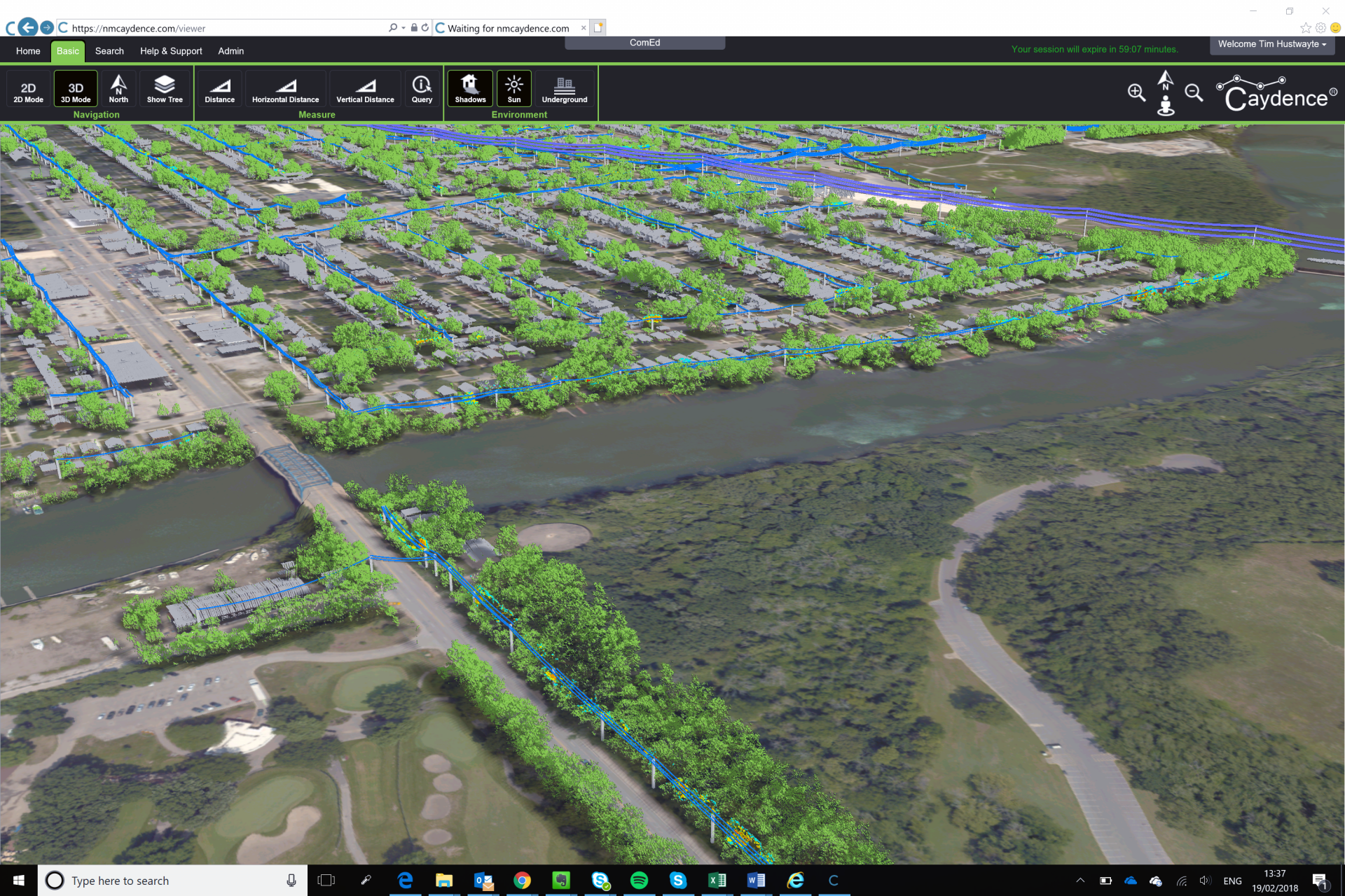
3D asset management
An increasing number of network-wide distribution project stakeholders have an expectation for a system to easily acces the LiDAR and associated spatial data. This has led to a boom of 3D visualization or 3D asset management systems in the marketplace. The advantage of taking the asset data into this environment is access to a digital twin of the entire network.
Bringing the network into the office provides a powerful, holistic way to see the network. This can reduce the number of field trips, provide key information such as OHL clearances or the access requirements at a given location. It can also give information on the environmental context of the site: land use, safety risks, quantity of vegetation in area and other.
In summary
LiDAR and geospatial data for distribution network operators isn’t a new phenomenon. The major recent change is that through more cost effective workflows and increased understanding of the applications, more and more distribution utilities are realizing the benefits of a geospatial approach.
Reach out to us to learn more about NM Group’s distribution projects.