Transmission reinforcement project to go ahead
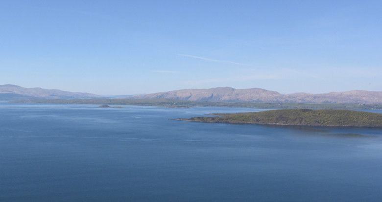
NM Group have been commissioned to survey a total of 226 km corridor on an island off the UK coast. The project will use LiDAR and image data to develop a series of engineering products including detailed topographic mapping. PLS-CADD™ analysis will also be used to support the design of a new overhead lines.
Learn more about geospatial data can assist in the planning and design of new powerlines.